Montrouget Est (Réserve biologique sensible)


Le Coquibus est un massif particulier et très sensible qui doit faire l'objet du plus grand respect de la part des visiteurs. Son statut de réserve biologique autorise d'y grimper mais cela pourrait être un jour remis en question du fait d'une trop grande fréquentation ou de comportements irresponsables. Nous demandons aux grimpeurs de limiter au maximum leur présence ou sinon leur impact dans les différents secteurs du Coquibus. En particulier, ne venez pas en groupe, ne grimpez pas après le coucher du soleil et n'utilisez pas d'appareils électriques (drones, ventilateurs, radios...) Réduisez la magnésie au strict minimum, effacez toute trace de votre passage et enfin ne brossez pas de nouveau passage. Evitez de pénétrer dans les sous-bois et tenez votre chien en laisse d'avril à juillet.
Veuillez lire notre page d'éthique.
Ce petit secteur s'atteint en 10 minutes environ, mais son accès n'est pas si simple.
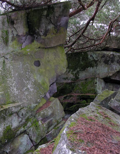
Sur la route de Courances à Arbonne, se garer au premier parking à droite en entrant dans le Bois du Coquibus. Prendre le Chemin de la Ferme du Montrouget, contourner l'enclos de la ferme par la branche de gauche et au croisement avec le Chemin des Arcades, continuer tout droit (plein Sud) en suivant une sente peu marquée dans le petit vallon entre le point coté 97 sur IGN et le pignon du Montrouget. On arrive naturellement à un bloc avec un «gros nez» caractéristique dans une ancienne zone de carriers. Le secteur principal se trouve alors entre ce point et le Chemin de la Roche qui Tourne. D'autres voies, en général difficiles, se situent à 150m sur la gauche, vers le sommet du pignon 97 (toit de Figure de Style) ou encore plus loin vers l'Est.
Autre accès : se garer au parking suivant, prendre le Chemin des Côtes de Courances (parcelle 37), croiser le Chemin des Arcades (balises blanches), tourner sur le GR 11 à droite (Chemin de la Roche qui Tourne). Le secteur se situe alors 150m sur la droite.